One of the most important components in an assessment of groundwater supply or aquifer vulnerability is the groundwater recharge rate.
Yet it is the least understood and constrained component because it is so variable and recharge rates are difficult to directly measure.
The sustainability of groundwater supply is dependent on the recharge rate. The rate of recharge from incident precipitation or streams may affect the mass flux of contaminants to groundwater. Proper quantification of groundwater recharge and its uncertainty are essential for the successful management of water resources and for modeling groundwater flow and contaminant transport within the subsurface.
In a previous blog I discussed the benefits of integrated hydrologic modeling, which links surface water (watershed) modeling and groundwater modeling.
One of the benefits is better estimation of recharge to groundwater. Good recharge estimates are fundamental to groundwater modeling because the calibrated model hydraulic conductivity is typically very sensitive to recharge rates. If you are relying on a groundwater model to make informed decisions about a remediation technology, potential environmental consequences of mining or the effects of pumping groundwater on surface water and groundwater resources, then you want to be confident that a critical model input – recharge – is well constrained. A host of factors influence groundwater recharge, which varies significantly in space and time at all scales.
Related Services

How Does Groundwater Recharge Occur?
Groundwater recharge is the primary method way which water enters the aquifer. Through natural and artificial means, water moves from surface water to groundwater.
Recharge is the rate of groundwater replenishment, which depends on but is not the same as the infiltration rate. The infiltration rate is a measure of the capacity of soil to absorb and transmit surface water under a given condition. Recharge is the net infiltration rate after the effects of other processes on the infiltrating water.
Gravity and Capillarity
Infiltration is caused by two forces: gravity and capillarity. The rate of infiltration is determined by soil characteristics, including ease of entry, storage capacity and the saturated transmission rate through the soil. The soil texture and structure, vegetation types and cover, water content of the soil, soil temperature and rainfall intensity all play a role in controlling infiltration rates.
For example, coarse-grained sandy soils have large pore spaces between each grain, which permit water to infiltrate quickly under the force of gravity. Finer-grained soils with smaller pores offer greater resistance to gravity, and fine-grained soils with very small pores pull water through the soil by suction (capillary forces) with the help of gravity. Under many conditions, capillary forces work against the force of gravity.
The process of infiltration can only continue while pore space is available at the ground surface for entry of additional water. The availability depends on the porosity of the soil and the rate that previously infiltrated water moves away from the ground surface through the soil. If the rate of arrival of water at the soil surface is greater than the infiltration capacity, the water is ponded or redirected as overland flow.
Infiltration capacity rapidly declines during the early part of a storm and approaches a constant value. In fine-grained soils, capillary forces diminish and permeability increases as water saturates the pores.

Factors Affecting Recharge Rates
Infiltrating water is designated potential recharge because it may return to the atmosphere by evapotranspiration; migrate as near-surface interflow and emerge as runoff; or remain suspended in the vadose zone. Infiltration and net recharge vary temporally and spatially by season, storm water intensity, stream stage, soil type, vegetation type and cover, elevation, slope, temperature, solar radiation and other factors, including the presence of buildings, paved surfaces and drainage culverts.
For example, spatial variations in soil types may be related to lithologic differences in the rocks intersecting the ground surface or variations in mineralization. Soil type not only directly affects infiltration, it influences the vegetation type, which affects the rate of evapotranspiration.
Slope & Direction
Vegetation is also a function of topographic slope and direction. The north facing slope in a semi-arid environment may be covered in conifer, while the south facing slope is dominated by desert scrubs. In mountainous areas, precipitation and vegetation vary dramatically with elevation to the extent that precipitation is greatest and vegetation is non-existent at the highest elevations.
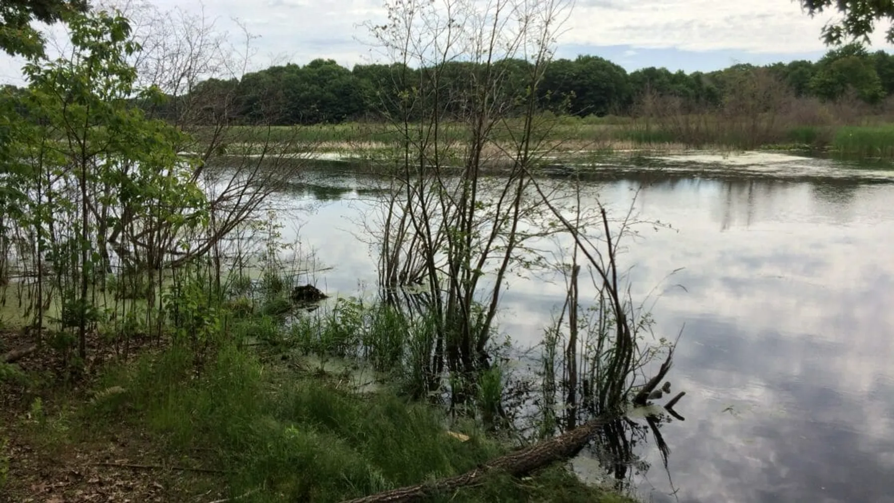
Infiltration and recharge occur through diffuse and focused mechanisms. Diffuse recharge, also called direct recharge, occurs by the distributed infiltration of precipitation through the soil surface over large areas. Focused recharge occurs through the infiltration of water from surface water bodies such as streams, canals and lakes, as well as from runoff water collecting in small depressions or passing through low slope areas and ephemeral drainages.
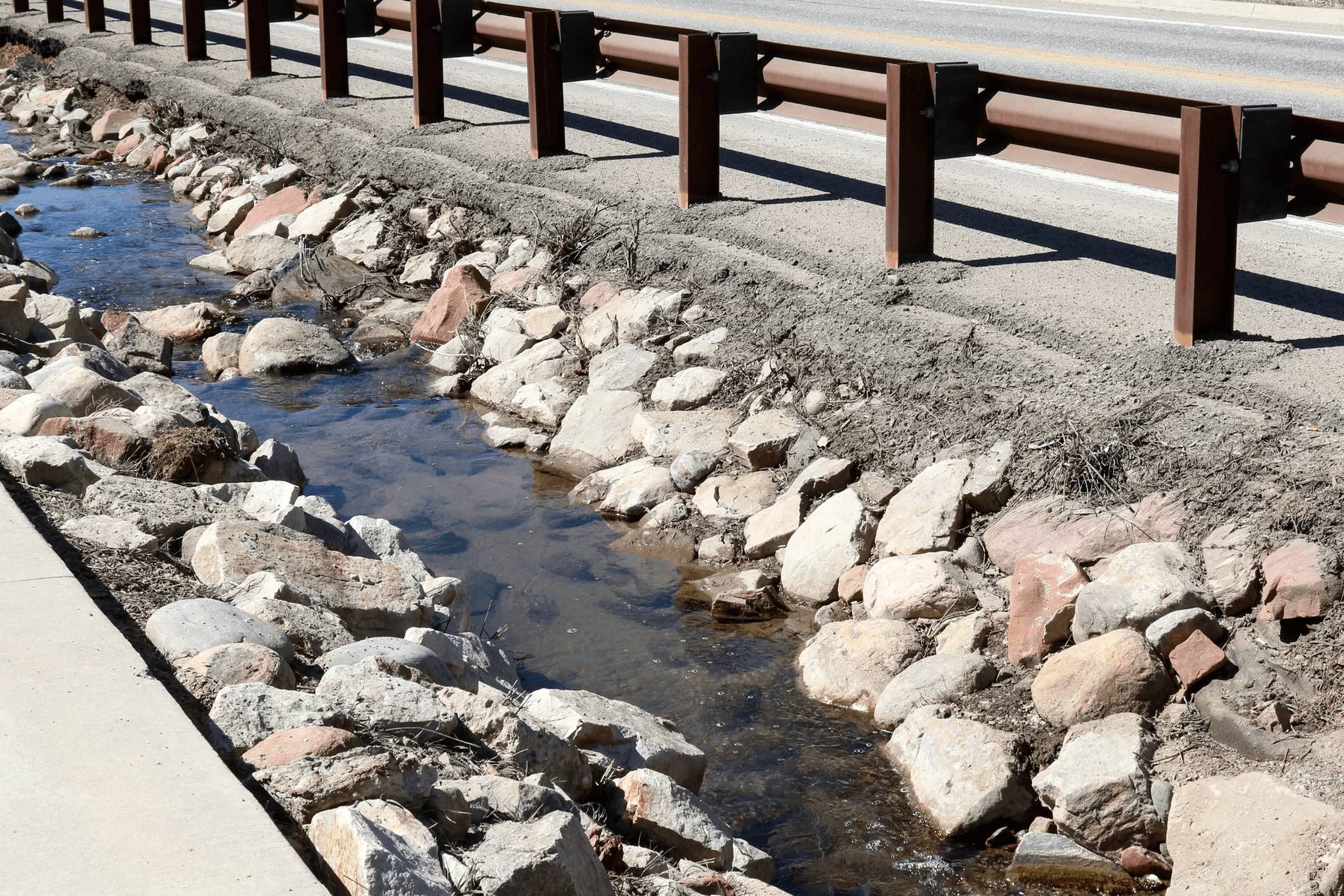
Focused recharge varies spatially more than diffuse recharge. Generally, diffuse recharge dominates in humid settings, and focused recharge is more important in arid climates. Focused recharge is also the main mechanism in urban areas, where pavement and buildings cover a large percentage of the ground surface, occluding local infiltration and generating runoff that is directed to discharge basins and streams. Leaks in water supply lines and sewers are another form of focused recharge.
Cost of Inaccurate Models and Unreliable Assessments
Groundwater recharge is a complex function of many variables. Application of a spatially uniform recharge rate in a groundwater model, a common practice, can result in the development of inaccurate model properties and unreliable assessments of groundwater flow and transport, especially at sites of limited data on the hydraulic conductivity of the subsurface and/or extreme variability, as in fractured bedrock. Wrong decisions can ensue with costly ramifications, such as:
- Underestimating impacts of mining or industrial contaminants on surface water and groundwater resources.
- Overdraft by municipal, industrial or mining groundwater supply wells that affects other users and/or causes land subsidence with attendant structural damage.
- Erroneous conclusions about the effects of land development on aquifer recharge and contamination
The Importance of Watershed Modeling
Watershed models are increasingly utilized for improved estimates of recharge and uncertainty analysis. These models address the numerous variables in groundwater recharge and can be linked with groundwater models for integrated hydrologic modeling. The feedback provided by the groundwater model improves the watershed model, which in turn improves the groundwater model. Iteration between the watershed and groundwater models leads to optimization of surface water and groundwater simulations.
Ask your groundwater consultant about the sensitivity of your project or problem to the groundwater recharge rate. Ask about the known and potential unknown factors controlling recharge. A good groundwater modeling consultant will explain his method of estimating recharge and inform you of the consequences of error in the estimate. Consider watershed or integrated hydrologic modeling, if spatial and temporal variations in recharge at your site may be important.
Achieve New
Possibilities
Partner With TRC’s Tested Practitioners
Sharing Our Perspectives
Our practitioners share their insights and perspectives on the trends and challenges shaping the market.

TDU Webinar- Bioventing Residual LNAPL Plumes
August 27, 2024
TRC’s expert discusses the basics of hydrocarbon bioventing and bioventing system and well design. Two case studies are also provided to demonstrate examples of bioventing source remediation and the installation of a bioventing system at a refinery and a bulk fuel farm.

Microplastics ITRC Guidance Document and Training Available Soon!
February 23, 2023
Microplastic particles have been found in nearly every corner of the globe, but health effects and toxicity are only beginning to be understood. Because of their ubiquitous nature, microplastics present a challenge in both accurate sampling and source attribution. Microplastics are emerging as an environmental issue that regulators and industry will be increasingly focusing on in the coming years.

Odor Evaluation Services
February 23, 2023
TRC is nationally recognized as an expert in the field of odor measurement, identification, modeling and control engineering. This presentation includes an overview of odor properties, odor evaluation, modeling and odor thresholds and outlines the four sensory properties: detectability, intensity, character and hedonic tone.

EPA Announces $2 Billion in Funding to Address Emerging Contaminants in Drinking Water
February 14, 2023
Environmental Protection Agency Administrator Michael Regan announced $2 Billion in infrastructure funding to help the nation’s rural water supplies.
Metals 101
February 8, 2023
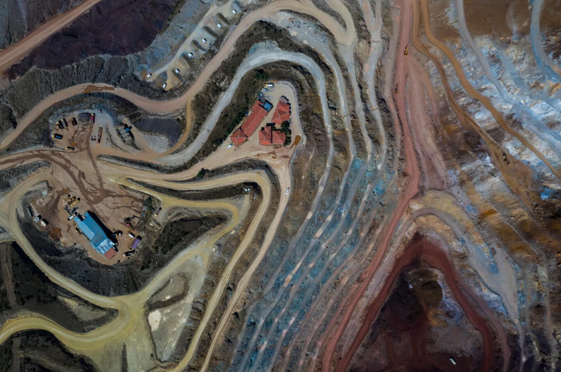
Metals are naturally occurring elements in the Earth’s crust that enter the environment through natural processes. They can be found in groundwater, soil and sediment. The trophic transfer of these elements in aquatic and terrestrial food chains has important implications for wildlife and human health.
Biotic and Abiotic Reduction to Achieve Groundwater Compliance at CCR Sites
November 22, 2022
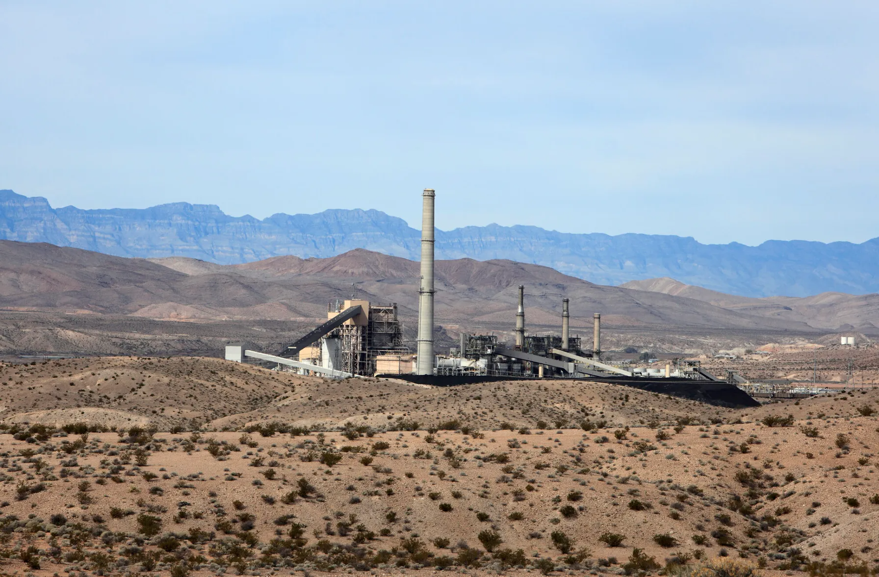
TRC conducted two case studies to test different EA strategies. In both studies, chemical and biological reduction to stabilize metals at former CCR sites were evaluated.

Implementing bioremediation at environmental cleanup sites: TRC experts weigh in at leading industry conference
May 17, 2021
TRC experts make several presentations at the Battelle conference about innovative approaches they have developed for implementing and monitoring bioremediation and the use of naturally-occurring or deliberately-introduced micro-organisms to break down environmental pollutants.

Iron sulfide: The “miracle mineral” in environmental remediation
April 26, 2021
Whether it’s treating an arsenic spill at a railroad site in Wisconsin or releases of chromium and other metals or metal-cleaning solvents at manufacturing sites in California, New Jersey, and South Carolina, a mineral marrying iron and sulfur -iron sulfide- is emerging as a powerful and versatile tool in the environmental remediation toolbox.

TRC Awarded a Yahara WINS Grant
August 28, 2020
TRC was recently awarded a Yahara WINS grant to develop a pilot scale simple aeration method for removing phosphorous from the discharge of manure digesters. The grant application was developed and submitted by: Bob Stanforth, Alyssa Sellwood, Mike Ursin, Ted O’Connell, Ken Quinn, and John Rice, who are members of multiple TRC CORE teams.

Ecological Risk of PFAS from AFFF-Impacted Sites
June 30, 2020
The facts on evaluating exposure to wildlife
NJDEP Issues Stormwater Management Updates and Amendments
April 12, 2024
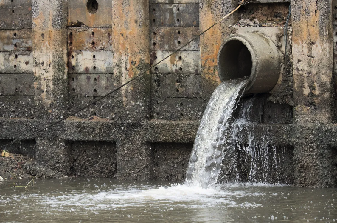
The New Jersey Department of Environmental Protection (NJDEP) recently issued two new requirements pertaining to its New Jersey Pollutant Discharge Elimination System (NJPDES) program that affect municipality mapping requirements and the sizing of new stormwater management practices.

U.S. EPA and Army Corps of Engineers to Develop Revised Rule to Define “Waters of the United States”
August 8, 2023
The US EPA and Army Corps of Engineering are redefining “Waters of the United States”.

Regulators Update Design Storm Rainfall Depths in Response to Climate Science Projections and Recent Storm Data
August 3, 2023
Regulators are responding to anticipated increases in extreme rainfall events by updating design storm rainfall depth regulations.

EPA Ramps Up Inspections and Enforcement Actions
May 14, 2021
EPA’s acting enforcement chief, Larry Starfield, directs agents to ramp up inspections in communities known to be afflicted by pollution

TRC Companies Inc. Acquires 1Source Safety and Health
November 11, 2020
TRC Companies (“TRC”), a leading technology-driven provider of end-to-end engineering, consulting and construction management solutions, has acquired 1Source Safety and Health, a firm that provides management consulting services in areas such as indoor air quality, asbestos management, industrial hygiene and safety management systems.

Ecological Risk of PFAS from AFFF-Impacted Sites
June 30, 2020
The facts on evaluating exposure to wildlife

TRC’s Reporting Tool Can Help Identify New PFAS under the TRI
May 19, 2020
While utilities often work in technical silos, NERC auditors are trained to cross check compliance evidence and data between interrelated standards.

Potential Impacts from EPA’s Proposed Waters of the United States Rule
July 24, 2019
The EPA is redefining which bodies of water are eligible for protection under the federal Clean Water Act – and which ones aren’t.

Innovative Remedial Concepts to Address Microplastics
August 11, 2023
Microplastics (MP) encompass plastic particles ranging in size from 1 nanometer to 5 millimeters. MP historically appeared in lotions and creams as “microbeads,” which acted as exfoliants. MP also form through different processes including the gradual degradation of larger plastic items over time, which results in the generation of progressively smaller plastic particles. Additionally, textiles and synthetic clothing can form MP from daily wear and tear.

U.S. EPA and Army Corps of Engineers to Develop Revised Rule to Define “Waters of the United States”
August 8, 2023
The US EPA and Army Corps of Engineering are redefining “Waters of the United States”.

Regulators Update Design Storm Rainfall Depths in Response to Climate Science Projections and Recent Storm Data
August 3, 2023
Regulators are responding to anticipated increases in extreme rainfall events by updating design storm rainfall depth regulations.
TRC Assists in Securing $11M in funding for small Communities
April 14, 2023
The EPA is attempting to redefine the Waters of the United States to bring more clarity to the Clean Water Act and address a rash of successful legal challenges that followed a 2015 rule change. The 2015 rule was considered by many to be vague in its definition of protected waters, which triggered the flood of lawsuits – including some that ended up before the U.S. Supreme Court.

Proposed MCLGs and MCLs for PFAS
March 15, 2023
Final Regulatory Determination for Contaminants on the Fourth Drinking Water Contaminant Candidate List

EPA Announces $2 Billion in Funding to Address Emerging Contaminants in Drinking Water
February 14, 2023
Environmental Protection Agency Administrator Michael Regan announced $2 Billion in infrastructure funding to help the nation’s rural water supplies.
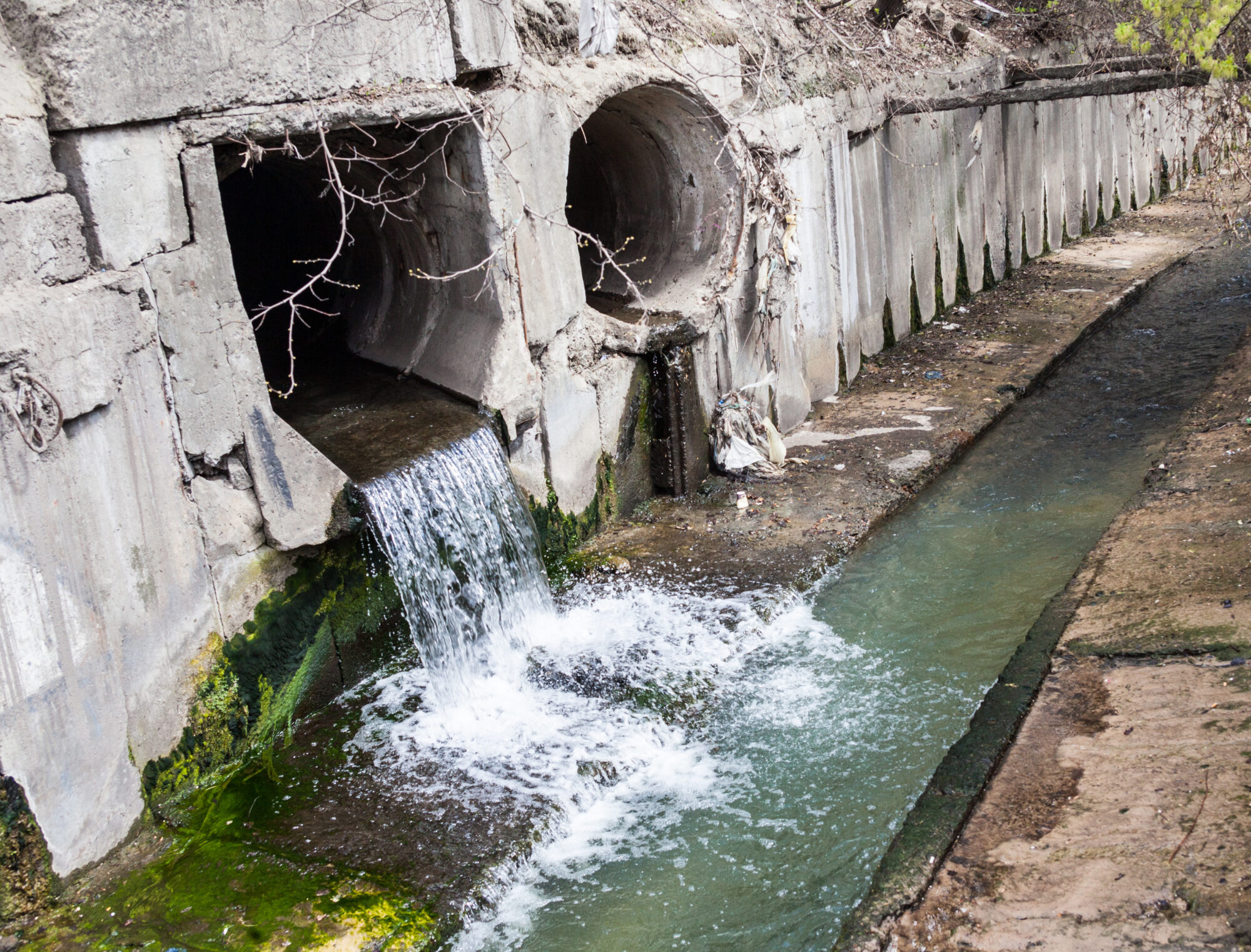
PFAS Discharges in NPDES Permits
December 19, 2022
In a follow-up to the EPA Office of Water’s April 28, 2022 memo, EPA released “Part 2″, providing guidance for the NPDES permitting/pretreatment program as it relates to restricting discharges of PFAS to water bodies.

Washington State Establishes PFAS Cleanup Levels
September 21, 2022
The Washington State Department of Ecology (Ecology) recently published a list of 6 PFAS compounds that now have soil and groundwater cleanup levels

EPA Issues Proposed Rule Designating PFOA and PFOS as Hazardous Substances
September 7, 2022
The EPA has issued a pre-publication version of a proposed rule to designate two PFAS compounds as hazardous substances under CERCLA.

Five New PFAS Added to EPA Regional Screening Levels (RSLs)
June 24, 2022
EPA announced the addition of five new PFAS to the list of Regional Screening Levels (RSLs)

EPA Announces Updated Drinking Water Health Advisories for Four PFAS Chemicals: PFOS, PFOA, PFBS, & GenX
June 24, 2022
On June 15, 2022, the EPA released updated Health Advisory Levels for four per- and polyfluoroalkyl substances (PFAS) in drinking water
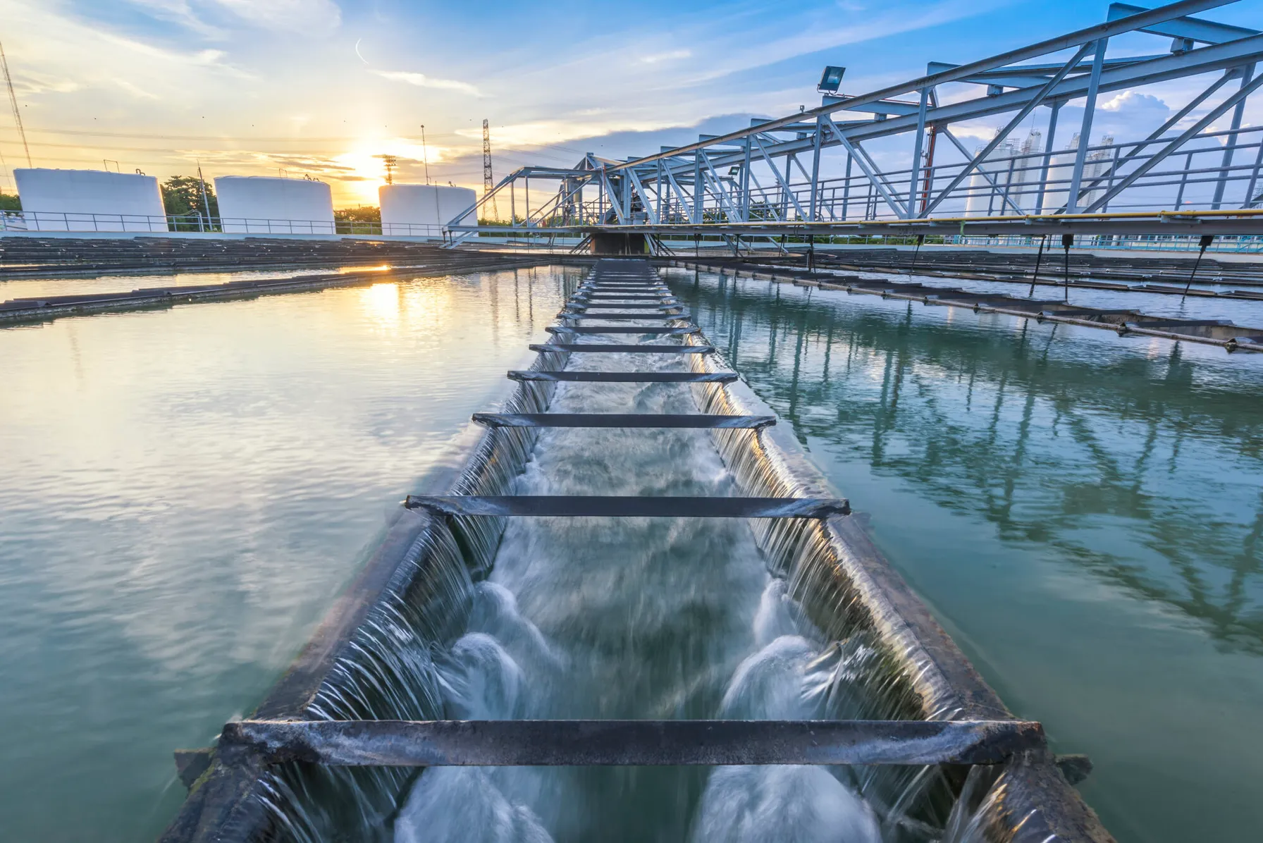
Integrating Sustainability, Digital Connectivity and Design Optimization in Wastewater Treatment Systems
June 20, 2022
Some organizations rarely think about water and wastewater treatment, until there is a problem. American industry depends on the ability to treat wastewater discharges while complying with regulatory standards and addressing emerging contaminants. If wastewater treatment fails, our environment is negatively impacted, and companies are exposed to shutdowns, delays and fines.

EPA Proposes Aquatic Life Criteria for PFOA and PFOS
May 25, 2022
On May 3, 2022, under the Clean Water Act (CWA), the United States Environmental Protection Agency (USEPA) proposed the first aquatic life criteria for both short-term and long-term toxic effects from Perfluorooctanoic Acid (PFOA) and Perfluorooctane Sulfonic Acid (PFOS).

Fifth Unregulated Contaminant Monitoring Rule Lists 29 PFAS
January 21, 2022
EPA published fifth Unregulated Contaminant Monitoring Rule as required every five years and 29 of the 30 contaminants listed are PFAS.
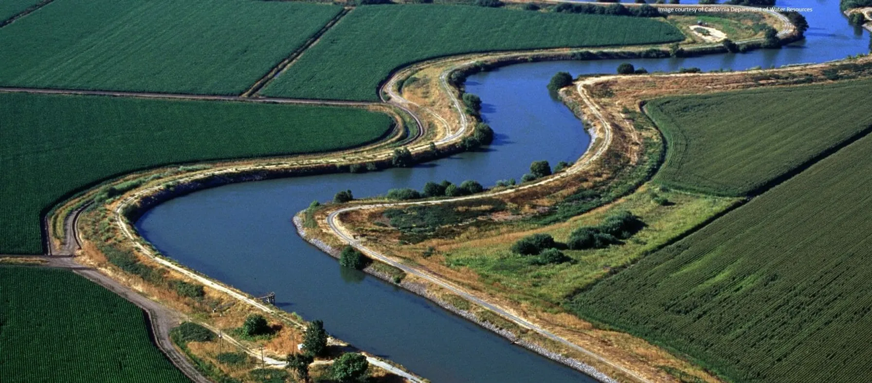
Waters of the United States (WOTUS) Revised Definition: Proposed Rule Published
December 16, 2021
Rule Proposed to Revert Back to Pre-2015 Definition of Waters of the United States (WOTUS) published December 2021

Construction Delivery Method Comparison: Design-Build vs. Design-Bid-Build
December 16, 2021
In the construction industry the successful execution of every project depends on the delivery method. Two of the most widely used project delivery methods are Design-Bid-Build and Design-Build.
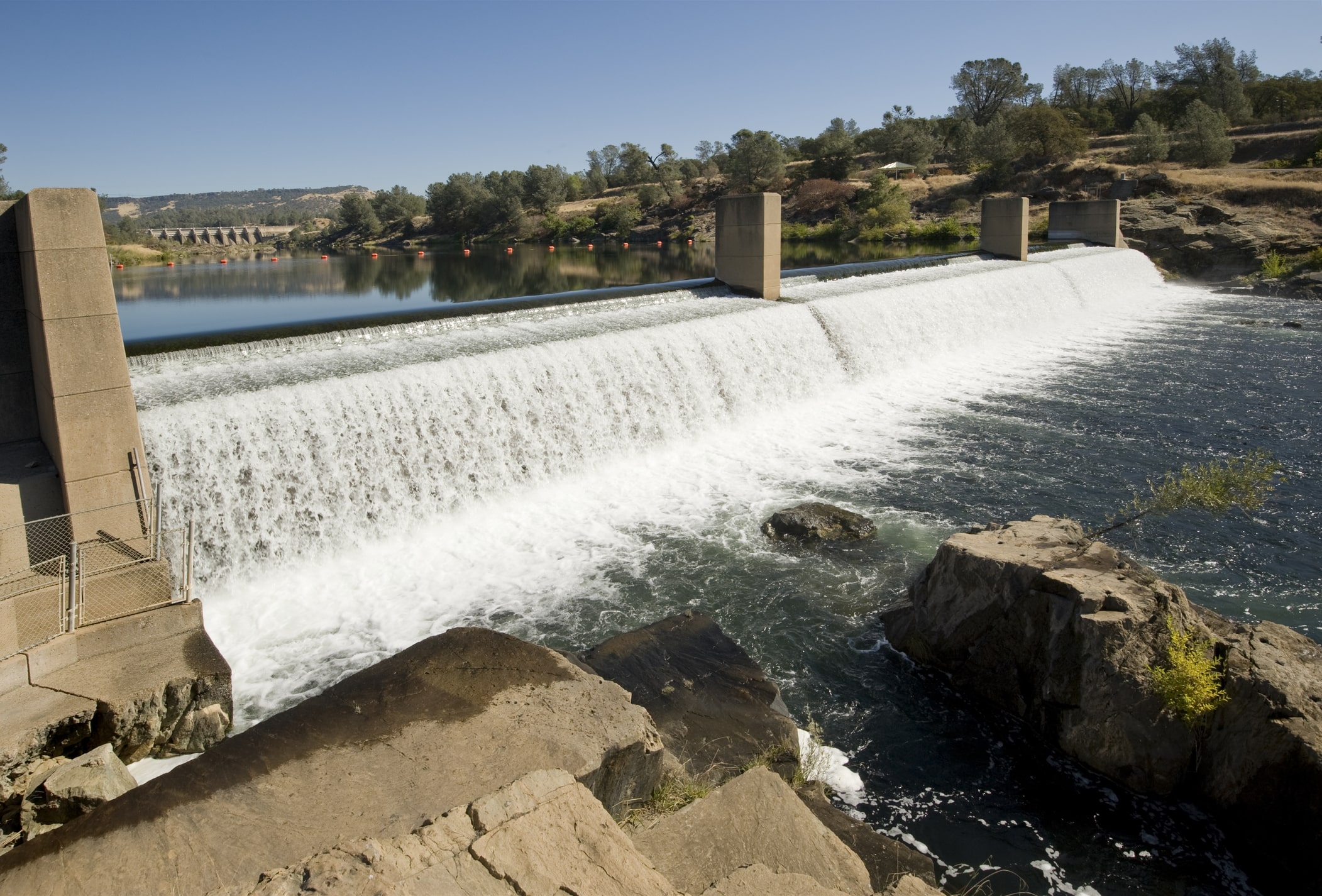
Overhauling Oroville: The Amazing Push to Repair the Tallest Dam in the United States
November 8, 2021
The Oroville Dam in Northern California is the highest in the country at 770 feet – four stories taller than the more celebrated Hoover Dam – but few outside the Golden State had ever heard of it before February of 2017.
EPA Solicits Comments on PFAS Discharges in Five Point Source Categories
September 23, 2021
EPA solicits comments in five point source categories (PSCs) in the manufacture, use, treatment and discharge of PFAS.

TRC Companies Inc. Acquires 1Source Safety and Health
November 11, 2020
TRC Companies (“TRC”), a leading technology-driven provider of end-to-end engineering, consulting and construction management solutions, has acquired 1Source Safety and Health, a firm that provides management consulting services in areas such as indoor air quality, asbestos management, industrial hygiene and safety management systems.

TRC Awarded a Yahara WINS Grant
August 28, 2020
TRC was recently awarded a Yahara WINS grant to develop a pilot scale simple aeration method for removing phosphorous from the discharge of manure digesters. The grant application was developed and submitted by: Bob Stanforth, Alyssa Sellwood, Mike Ursin, Ted O’Connell, Ken Quinn, and John Rice, who are members of multiple TRC CORE teams.

Potential Impacts from EPA’s Proposed Waters of the United States Rule
July 24, 2019
The EPA is redefining which bodies of water are eligible for protection under the federal Clean Water Act – and which ones aren’t.

TRC Acquires California Construction Management Firm Vali Cooper & Associates
June 26, 2018
LOWELL, Mass. – TRC, a leading provider of end-to-end engineering, consulting and construction management solutions fueled by innovative technology, announced today it has acquired Vali Cooper & Associates Inc., a top California infrastructure firm that manages transportation, water/wastewater, utility and facilities projects.
TRC Recognized for Removing Lead Contamination from Mill River in Fairfield, Connecticut
March 7, 2018
LOWELL, Mass. – TRC, a leader in engineering, environmental consulting and construction-management services, has been awarded a pair of awards from the Environmental Business Journal – one for business achievement and the other for an innovative remediation project to remove lead sediment from the Mill River in Fairfield, Conn.

David Hay
Dr. David Hay is a geoscientist for TRC with 37 years experience. He is a resource and senior reviewer on projects requiring geological, hydrogeological, geochemical, and geophysical expertise. He has extensive numerical modeling experience on industrial and mining sites. Dr. Hay is listed in TRC’s national register of experts and is a member of numerous TRC CORE teams established to promote technical excellence within the Remediation Practice of the Environmental Sector.

